Thursday, October 1, 2026

NORTH CENTRAL WASHINGTON — Western Chelan and Okanogan counties are back on flood and wind watch this week, along with the addition of a winter storm advisory for the Cascades.
Starting Monday morning, the National Weather Service forecasted between one and five inches of precipitation for Chelan County over a 72-hour period. The National Weather Service issued a flood warning in effect for Chelan and Okanogan counties through Wednesday morning, which includes the cities of Cashmere, Leavenworth, Plain, Mazama, and Wenatchee. An increased risk of rock and mud slides is also expected for the region, especially in areas with steep terrain, near burn scars, and heavily saturated areas.
According to the Northwest River Forecast Center, the Wenatchee River will rise again, but not to the degree of last week, where it surpassed 17 feet. By Wednesday afternoon, the river is forecasted to peak at 11.48 feet, or 19,500 cubic feet per second. The river is considered in a minor flood stage at 13 feet.
By mid-day Monday, the Stehekin River had reached flood stage again, rising to 24.2 feet. Northwest River Forecast Center forecasts the river to peak at 24.3 feet early Wednesday morning.
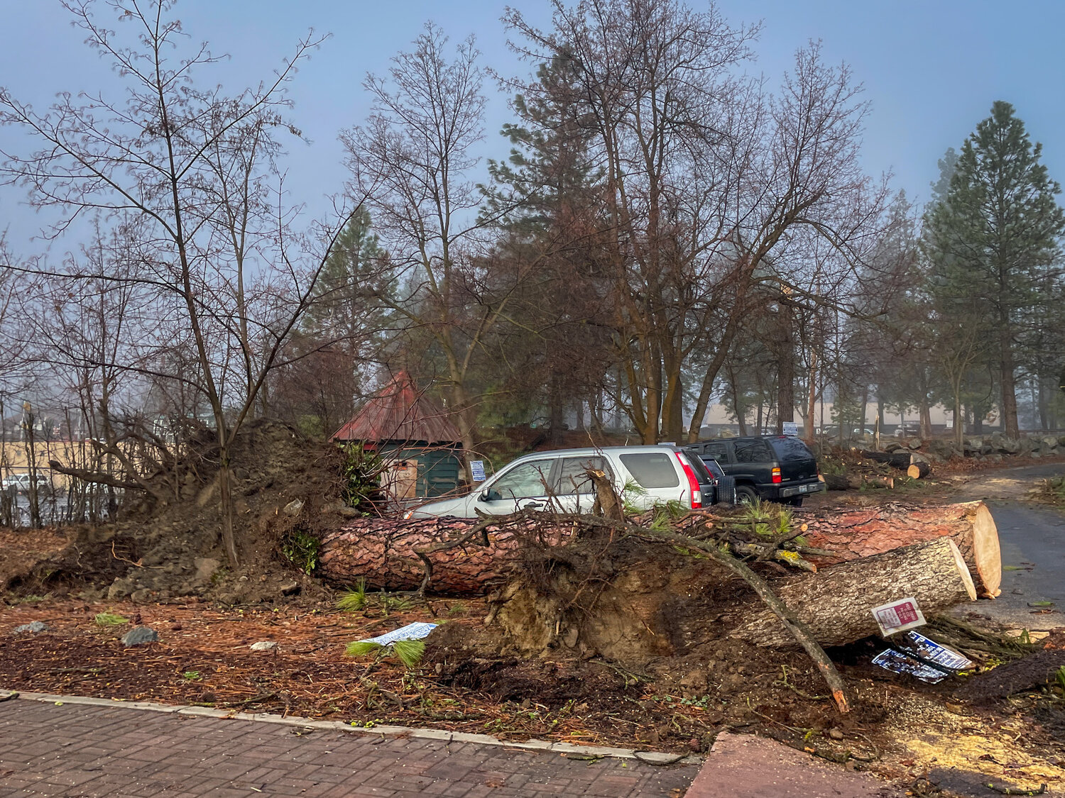
High wind is forecasted Tuesday evening through Wednesday afternoon for North Central and Eastern Washington. Southwest winds of 25 to 45 miles per hour (MPH), with gusts up to 60 MPH, are possible, as well as isolated wind gusts up to 70 MPH in high terrain areas, according to the National Weather Service. Limited travel, power outages, and wind damages are expected, especially in areas that are highly saturated from recent windfall.
Snow levels are expected to drop in the Cascades beginning Tuesday afternoon and into Wednesday evening. Heavy snow accumulations between eight and 18 inches are forecasted for Stevens Pass and Holden Village, with four to eight inches at Stehekin, according to the National Weather Service. Winds could gust between 30 to 50 MPH.
With potential outages and closures recurring this week, residents should charge their electronics and backup batteries, stock up on water, medications and non-perishable food, prepare generators, and fill their cars with gas.
Taylor Caldwell: 509-433-7276 or taylor@ward.media


Comments
No comments on this item Please log in to comment by clicking here